Surveying
+
RSA+ offers survey services.
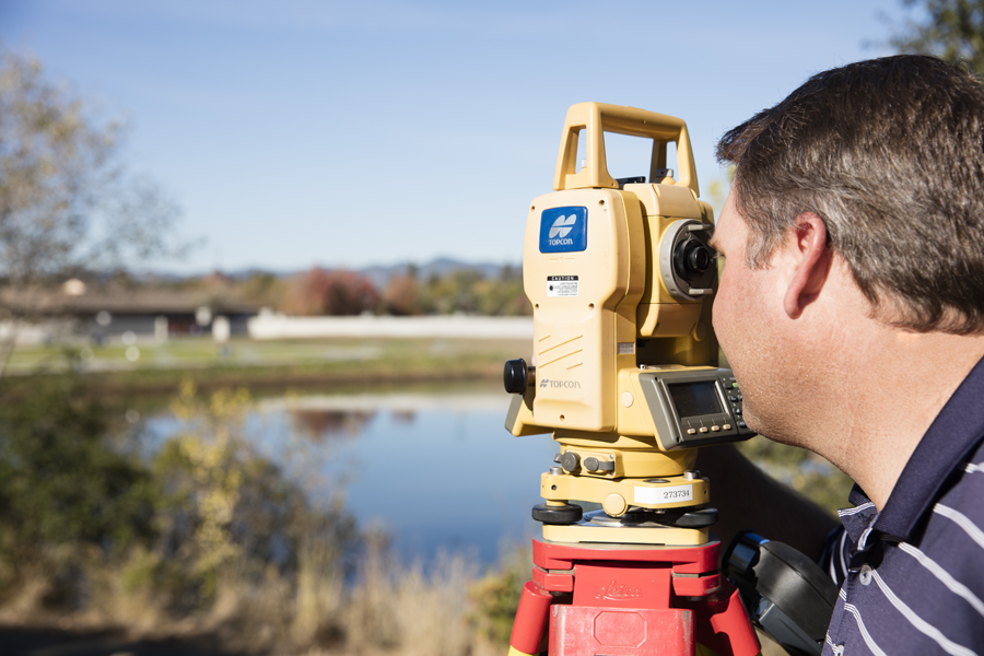
Led by Christopher Tibbits, the RSA+ Survey Team provides a broad range of land surveying services. The team has extensive experience in ALTA surveys, topographic and right of way surveys including, ground control for aerial mapping, baseline profile and cross-section measurements, route surveys for PG&E, base maps for right of way acquisition, sounding to determine water volumes, topographic site surveys, and geodetic positioning for federal applications.
RSA+ utilizes GPS and total stations, the latest in data collectors and AutoCAD Design Software. Crews are equipped with mobile smart phones with access to office email. Final electronic files are prepared in Civil 3D and include the surface model.
RSA+ is well versed in the California Code including The Subdivision Map Act and The Business and Professions Code. All mapping RSA+ prepares conforms to state code requirements. Code requires filing Record of Surveys when locating property lines not reflected on a map. With over 30 years of providing surveying services, RSA+ has retraced hundreds of parcels, filed numerous subdivision maps, parcel maps, Records of Surveys, and corners records when they were required or provided a value to the client.
+

